Strategic raw land parcels
A private portfolio of development-ready acreage and raw topography, documented with absolute geological and zoning precision.


Vetted land acquisitions
Vetted raw land parcels and development lots selected for strategic value, natural topography, and immediate transition potential.
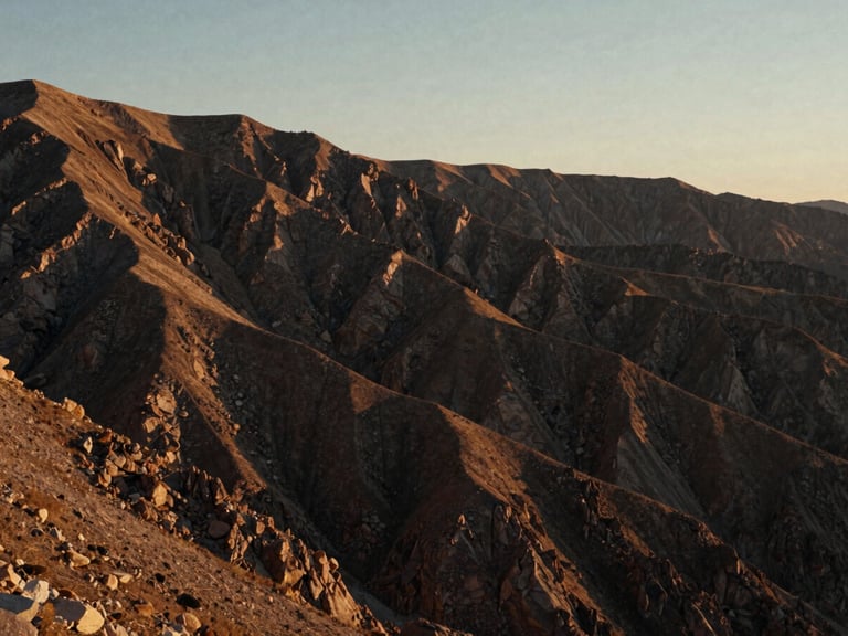
The Sawtooth Plateau
A high-altitude development parcel with verified soil composition, clean zoning parameters, and direct access to natural water resources.
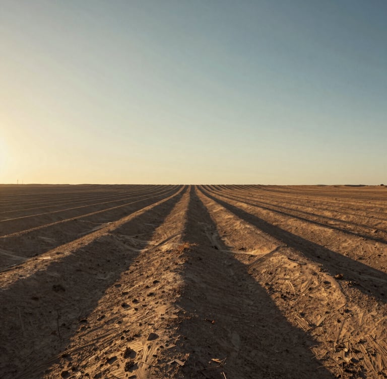
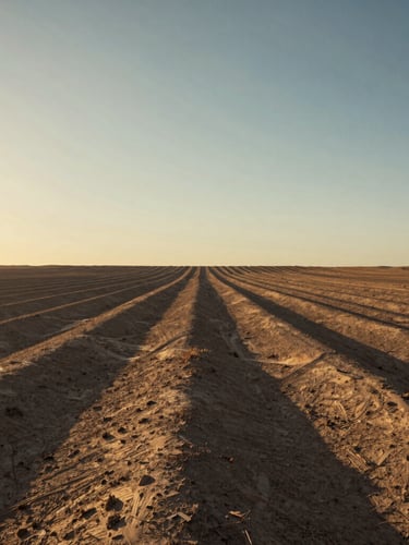
The Red Mesa Basin
Zoned for low-density architectural estates. Complete topographical mapping and environmental impact surveys are fully documented.
Absolute geological clarity
We eliminate speculative risk by delivering verified soil composition, zoning parameters, and development potential before inquiry.
100%
Topographical mapping
Class I-IV
Soil classification
Direct
Principal coordination
Zero
Speculative listings
Initiate land transition
Coordinate directly with our land specialists to review full surveys and zoning documentation.